Maptionnaire
DIALOGUE & INTERACTION
Maptionnaire is a map-based survey tool tailored to infuse community feedback into modern planning systems.
Short summary of the practice
Developed from Public Participation GIS research at Aalto University, Maptionnaire is a map-based survey tool tailored to infuse community feedback into modern planning systems. It allows users to design online interactive map surveys, disseminate them through links, and then analyze and depict the gathered feedback. Additionally, data can be exported to other GIS software for detailed analysis.
Goal of the practice
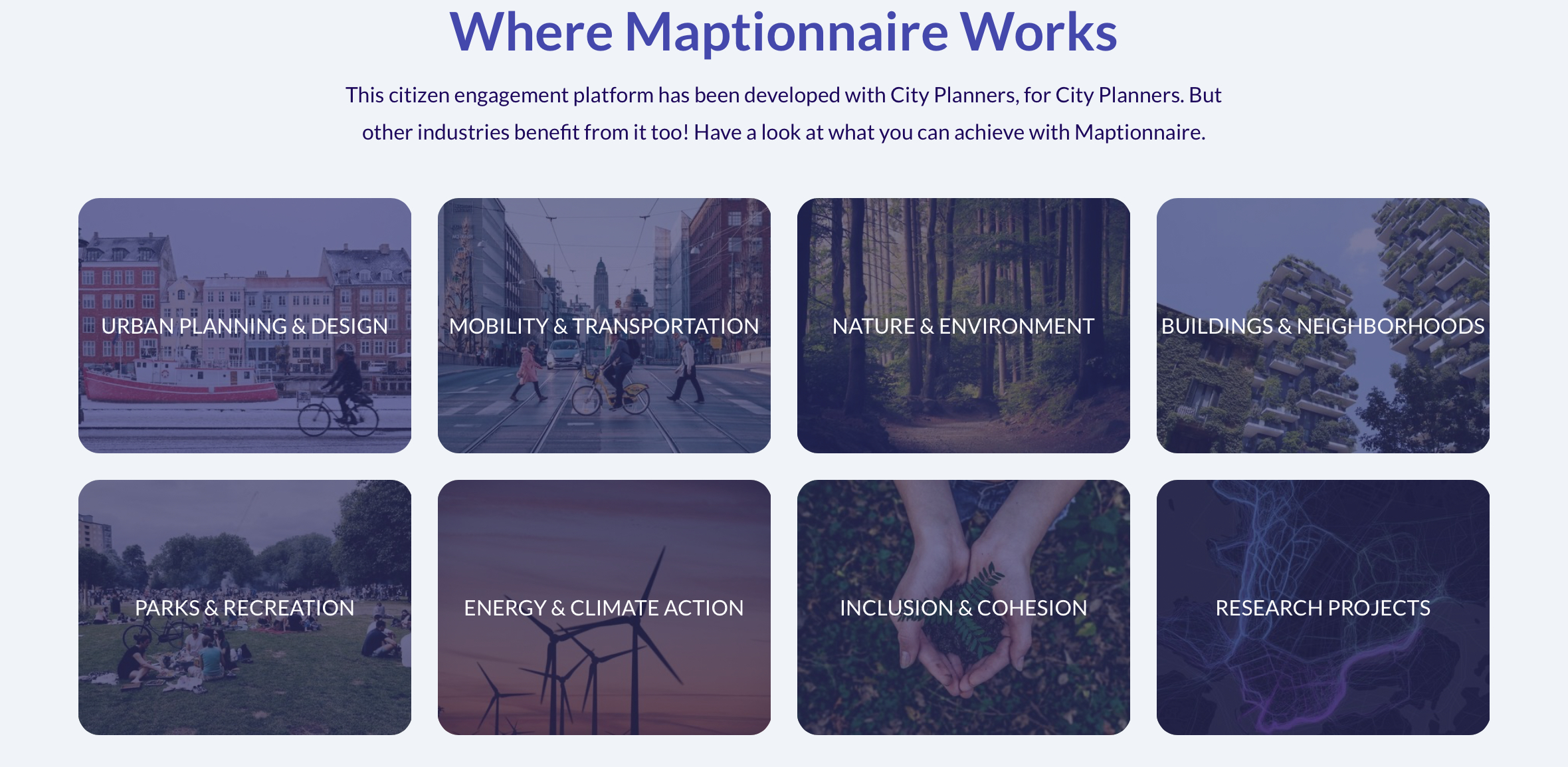
Maptionnaire enables the seamless integration of experiential local knowledge with conventional spatial data, fostering informed and community-centered urban development. City administrations employ Maptionnaire to engage residents, collecting insights for urban planning, such as identifying locals’ treasured neighborhood spots. Moreover, grassroots groups have harnessed the tool. For instance, neighborhood groups have used Maptionnaire to gather data from peers to advance their case for community enhancements.
Target group
All residents. The tool is for crowdsourcing, implying that the more people participate in mapping their experiences, the better quality data sets on community issues become available.
Number of participants: Unlimited.
Age of participants: Adult and Youth, 12+
Materials
Participants are required to have:
- Any mobile device
- Internet access
Method settings
The method can be adapted to any city.
Duration
For the mapping initiator the duration of a project is several weeks from planning to implementation and analysis depending on the scope of the project. From the participants point of view, the duration of the participation is the time they need to complete the survey.

Preparation
Preparation can take anything from a few days to weeks depending on the scope of the project.
Step by step guide
To utilize Maptionnaire, the mapping entity crafts a questionnaire and shares its link with a targeted group. Respondents can complete the questionnaire on any device. After gathering the data, the mapper can employ Maptionnaire’s analytical tools to interpret the findings, visualizing results as heat maps, for example.
Expected output
The results of mapping exercises with Maptionnaire produce extensive digital layers of local knowledge. These can complement the traditional spatial data typically used in urban planning.
Change the method brings to the communities
Using Maptionnaire yields a diverse array of resident insights, uncovering their feelings and ideas for community growth. The tool bridges the gap between local knowledge and official planning data, amplifying its potential in urban planning.
Adaptation/Application of the method
In an example of a grassroots application of the tool, Maptionnaire was leveraged in Urban Helsinki’s Walkable Railway Station Project, aimed at revitalizing the area around Helsinki’s railway station. The group designed and disseminated a map survey to the online YIMBY community, inviting participants to highlight areas of enjoyment and challenges and suggest improvements for the station area. The responses were then analyzed to create visual maps depicting public sentiment and insights, which informed a proposal to enhance walkability and attractiveness in the area. The proposal and data were shared with the public and city planners and have influenced subsequent developmental designs for central Helsinki.
Credit, References, and Resources
Link to the app – https://maptionnaire.com/
A Comprehensive Guide to Community Mapping for Planning Professionals, blog post on Maptionnaire website – https://www.maptionnaire.com/blog/guide-to-community-mapping-for-planning
Photo sources: https://maptionnaire.com/, date: 20.11.2023
Related posts

Active Citizenship
Active citizenship in this context refers to the power of individuals or small resident groups to proactively engage in community mapping exercises for improving their city or neighborhood.

ArcGIS Online
ArcGIS Online provides a cloud-based mapping and analysis solution. It is used to create interactive web maps, analyse data, share and collaborate.

Civic Alert
Civic Alert is a platform designed to facilitate communication between citizens and governments. Citizens can use their mobile application to report problems in the city to the authorities in three easy steps.
