
ArcGIS Online
ArcGIS Online provides a cloud-based mapping and analysis solution. It is used to create interactive web maps, analyse data, share and collaborate.

ArcGIS Online provides a cloud-based mapping and analysis solution. It is used to create interactive web maps, analyse data, share and collaborate.

Maptionnaire is a map-based survey tool tailored to infuse community feedback into modern planning systems.
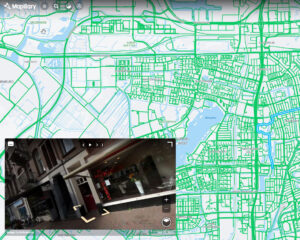
Mapillary is the platform that provides street-level images and map data for the purpose of scaling and automating mapping.