ArcGIS Online
INFORMATION GATHERING & VISUALIZATION
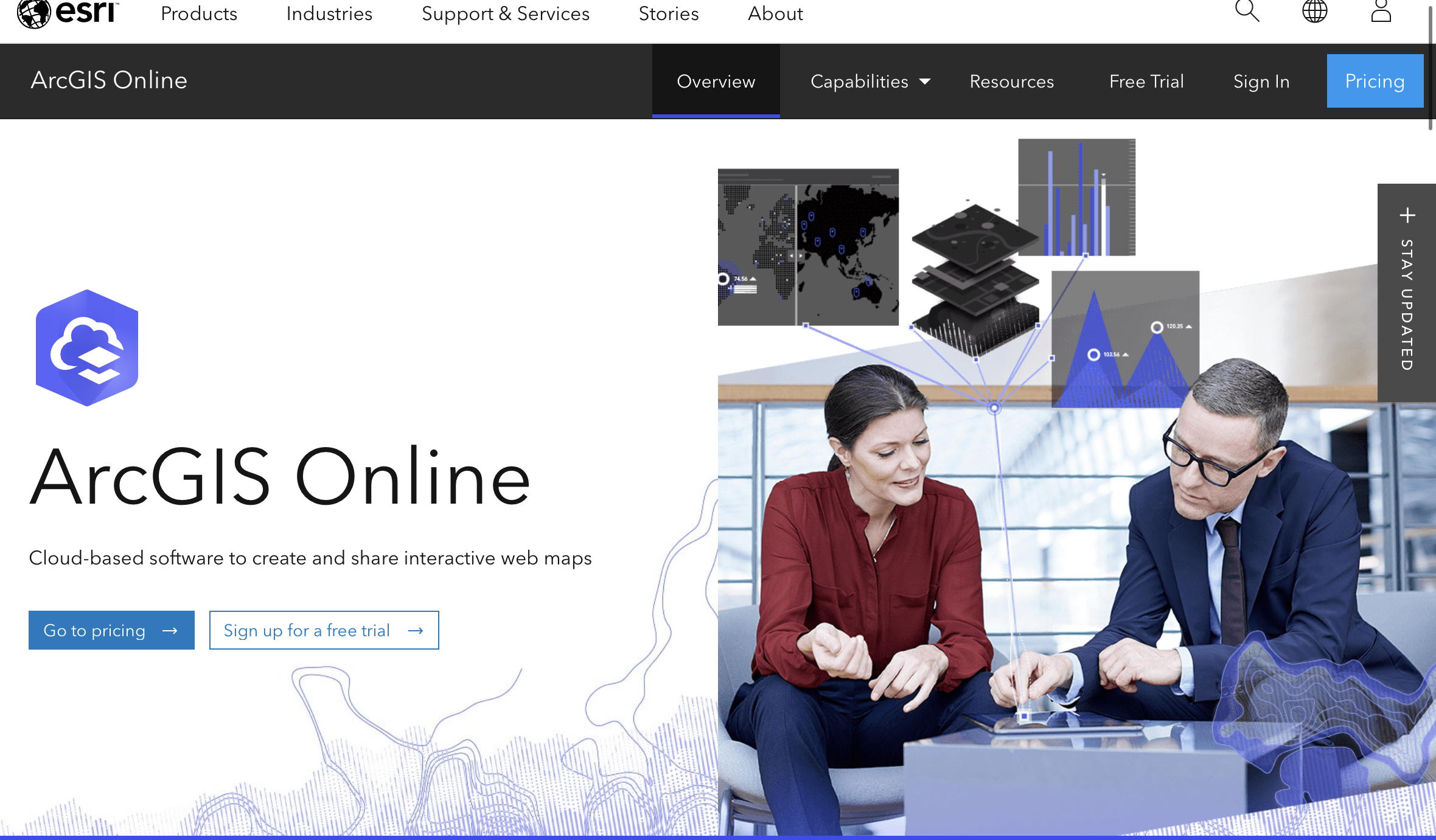
ArcGIS Online provides a cloud-based mapping and analysis solution. It is used to create interactive web maps, analyse data, share and collaborate.
Short summary of the practice
ArcGIS helps to create interactive maps that explain the data and encourage users to explore. Users can map their own data and gain perspective by adding the authoritative location-based data included in ArcGIS Online. Smart mapping can be used to guide data exploration and visualisation.
Goal of the tool
The tool helps to create interactive maps, customise colouring, export and facilitate data sharing and communication.
Target group
Young people, adults.
Number of participants: Individual, for everyone.
Age of participants: Youth and adults, 12+
Materials
Phone
Camera
Computer
Internet access
Duration
It takes 1 hour to create the map.

Preparation
One needs to create a free account and may need to watch tutorials.
Step by step guide
Choose your study area.
Select a base map.
Add geographical information from an open database (ArcGIS Online) or make your own.
Adjust the colours of the map.
Export your map as PDF or JPG.
Expected output
This tool allows you to create high-resolution maps of your choice.
DOs, DONTs and ethical considerations of the method
DOs of the method:
- Do print maps for your practice
- Do create your own data
- Do watch tutorials on YouTube
DOs of the method:
- Avoid using digital maps only.
- Do not expect all users to understand the software.
Change the method brings to the communities
The tool provides visibility and understanding of the area in which a user is starting their projects.
Adaptation/Application of the method
Used in most governmental institutions, planning agencies and universities.
Credit, References, and Resources
Link to the tool – https://www.arcgis.com/index.html
Some YouTube tutorials – https://www.youtube.com/watch?v=BbUctneHfKc&ab_channel=GeoDeltaLabs ; https://www.youtube.com/playlist?list=PLGZUzt4E4O2IJFxX_Bhp98MJEw5ItRtvb
Alternative software: QGIS (Quantum GIS) is a free and open-source geographic information system (GIS) software – https://qgis.org/en/site/ ; https://www.youtube.com/watch?v=xKlk3IXyPMo&ab_channel=RS%26GIS
Photo sources: https://www.arcgis.com/index.html , date: 20.11.2023
Related posts

Active Citizenship
Active citizenship in this context refers to the power of individuals or small resident groups to proactively engage in community mapping exercises for improving their city or neighborhood.

Civic Alert
Civic Alert is a platform designed to facilitate communication between citizens and governments. Citizens can use their mobile application to report problems in the city to the authorities in three easy steps.

CIVIC LABS – Civic technology solution generator
Civic Labs is a set of practices to ensure citizen access and transparency to public data, and to provide citizens with digital tools to help them make the best decisions to improve the lives of communities.
