URBANAGE IoT devices
DIALOGUE & INTERACTION
URBANAGE stands for Enhanced URBAN planning for AGE-friendly cities through disruptive technologies. The tool facilitates easy digital data collection from older residents.
Short summary of the practice
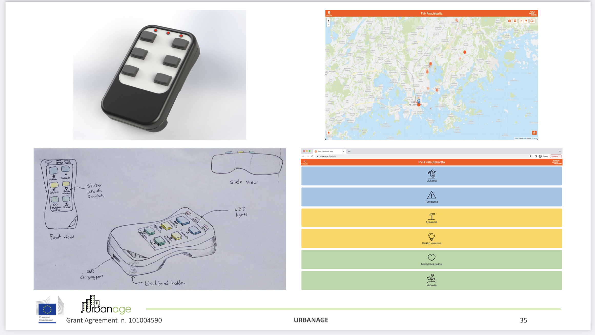
Developed and piloted by the URBANAGE project by Forum Virium Helsinki and the University of Helsinki, this method facilitates easy digital data collection from older residents. They are given specifically designed simple IoT devices to record positive or negative experiences in various locales during their daily routines. The responses are submitted instantaneously to a backend server, which in turn feeds relevant information into the city administration’s feedback system.
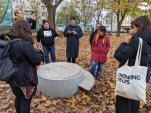
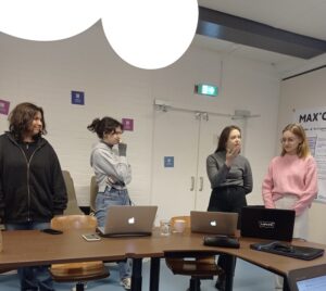
While this approach hasn’t been implemented widely, multiple workshops introducing the devices were held in neighborhood centers and senior citizen associations during spring 2023. Following these sessions, curious residents were allowed to borrow the devices for weeks.
Goal of the practice
The method and devices are tailored for easy digital data collection from older residents who may not be accustomed to using smartphones. The gathered data offers insights into their perceptions of everyday surroundings.
Target group
Older residents who may not be accustomed to using smartphones.
Number of participants: Depends on the amount of available mapping devices. The Helsinki pilot project produced 10 devices.
Age of participants: Elderly people
Method settings
Pilot in Helsinki, Finland, however, the method can be used anywhere.
Materials
- Physical IoT mapping devices

Preparation
The development of the method and devices was a separate innovation project. The mapping participants do not need much preparation for using the devices.
Step by step guide
Given the availability of the mapping devices, community mapping project leaders need to take a few essential steps. First, they should introduce residents to the project and the IoT device. Next, they distribute the devices for residents to use and subsequently collect them. Lastly, leaders should analyze the feedback gathered from the online map.
Expected output
The mapping results in point data with one of six binary attributes assigned (which button was pressed). While the device is designed with flexibility in mind, the Helsinki pilot’s current categories are ‘slipperiness’, ‘lack of (feeling of) safety’, ‘littering’, ‘insufficient street lighting’, ’pleasant place’, and ‘green place’. These categories were defined in a series of co-creation workshops with residents and city officials, in which older residents were asked what kind of feedback they would like to give to the city.
DOs, DONTs and ethical considerations of the method
A lesson from the Helsinki pilot for subsequent IoT device mapping projects is to craft the resident recruitment strategy in a way that attracts not only the already active residents but also involves others.
Change the method brings to the communities
The URBANAGE makes it easier for city planners, decision makers, and elderly citizens to better collaborate and build cities that are more welcoming, healthier, and more fun, and where individuals can keep their independence longer.
Adaptation/Application of the method
At the very least, it makes older people feel listened to by the city administration. It should also help to transform negatively perceived places and highlight positively perceived places.
Case studies demonstrated the use of the tool to plan services for older people with reduced mobility, such as pharmacies. Another possibility is to assess the city’s green spaces to make them more comfortable for older citizens.
Credit, References, and Resources
Link to the app – https://urbanage.fvh.io/
More about the project. The project website – https://www.urbanage.eu/
A few case studies – https://www.imec-int.com/en/urbanage ; https://www.urbanage.eu/flanders
Related posts

Active Citizenship
Active citizenship in this context refers to the power of individuals or small resident groups to proactively engage in community mapping exercises for improving their city or neighborhood.

ArcGIS Online
ArcGIS Online provides a cloud-based mapping and analysis solution. It is used to create interactive web maps, analyse data, share and collaborate.

Civic Alert
Civic Alert is a platform designed to facilitate communication between citizens and governments. Citizens can use their mobile application to report problems in the city to the authorities in three easy steps.
