Green Kalasatama
Green Kalasatama is an Augmented Reality (AR) application for residents in Helsinki’s Kalasatama area that enables residents to use their mobile devices to map local plants.

Green Kalasatama is an Augmented Reality (AR) application for residents in Helsinki’s Kalasatama area that enables residents to use their mobile devices to map local plants.

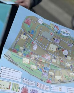
Kinder Kiez Karten is a method to create local neighborhood maps by children for children.

ArcGIS Online provides a cloud-based mapping and analysis solution. It is used to create interactive web maps, analyse data, share and collaborate.

“Map Your Flat” is an online adaptation of the “Map Me Happy” approach, designed to help participants reflect on their senses and map areas within their apartments where they experience positive sensations.

Maptionnaire is a map-based survey tool tailored to infuse community feedback into modern planning systems.

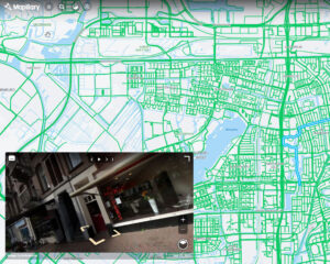
Mapillary is the platform that provides street-level images and map data for the purpose of scaling and automating mapping.

Hoodmaps is a crowdsourced map to navigate cities based on tags such as: hipsters, tourists, rich, normies, suits and uni areas.

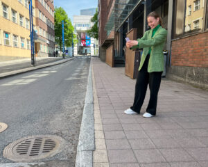
Crowdsorsa is a photo app to crowdsource data collection, that cities can use to nudge citizens to map their surroundings by taking geo-tagged photos.