Storymaps
EXPLORATION & KNOWLEDGE SHARING
INFORMATION GATHERING & VISUALIZATION
Storymaps (ArcGIS StoryMaps) is a web-based storytelling tool that allows users to display their maps alongside text and other multimedia content.
Short summary of the practice
An online platform provided by ESRI to allow the sharing of characteristics, impressions and experiences about certain places, in the form of interactive presentation, with engaging content based on maps, multimedia, text and more.
Goal of the practice
One can use Storymaps to do the following:
- The story builder can be used to create stories. Stories may incorporate maps, narrative text, lists, images, videos, embedded items, and other media.
- Publish and share stories. Each published story has its own URL, which one can use to share stories within your organization, with specific groups, or with everyone.
- Create and publish collections. For easy sharing and presentation, collections can include stories and ArcGIS web apps bundled together.
- Manage stories. One can access and modify their stories from the Stories page, locate stories authored by other members of their organization, and add them to their preferred list.
Target group
Although setting up a story map requires minimal knowledge of cartography and basic presentation making skills, their content can be addressed to any social, professional or age group. The only impediment is that in order to be accessed, the recipients of the storymaps must also have an active account. Otherwise, the account from which the storymap was created can be shared and users will even be able to contribute to improving the content and co-creating it.
Number of participants: Unlimited
Age of participants: From 12 years old
Materials
- Phone or Laptop
- Internet access
Method settings
The tool can be adapted to any city.
Duration
The time needed by participants to add their information on the app.

Preparation
First of all, an account must be created on the Storymaps.com platform, after which the creation of the presentation begins.
Step by step guide
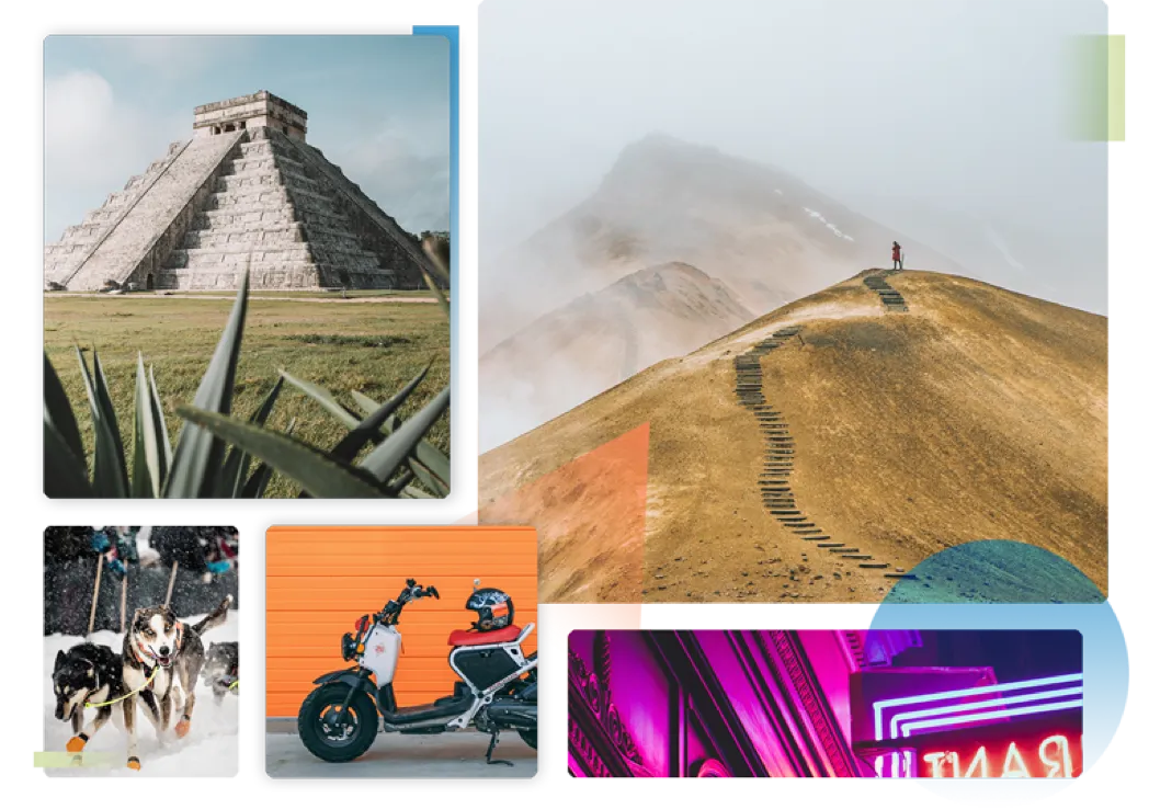
For the graphic part, StoryMaps supports many data formats and communication styles. Maps are the most important element because they provide the spatial context about the places referred to in the respective presentation. There are several ways to create or import different types of maps, or customize those offered by online platforms.
- A first option would be to create an express map, using map actions with an express map in sidecar.
- Another option is to create a thematic map, depending on the theme or idea communicated. There are many theme options, but you can always innovate in this matter.
- The semi-remote option would be adding a ready-to-use map, from the ESRI panoply or previously created by the creator in another program. In this case, the navigation options in the map are limited because it will be more static, only being able to be viewed.
For multimedia content:
- You can bring your own images, StoryMaps supports the most popular formats Video. You can upload your own files or include a link to a third-party provider such as YouTube Audio
- Sound can be added to the story, in the form of elements with playback on click or on demand in the background.
- Live web content such as posts on social networks or other websites can be embedded directly into the storymap.
Expected output
The results will be in the form of an interactive presentation that can combine the characteristics of a classic one or can be customized according to the taste and needs of the users. Once the presentation, which generally has an information and guidance character, the community to whom the content is addressed can make better documented decisions about that space or that phenomenon described. It is also possible to configure a template that can then be shared with a certain interest group. Members of the group, such as residents of a certain neighbourhood, can share their opinions or impressions about the exploration of the common space. This is managed in the form of a story map and to thus learn from each other.
DOs, DONTs and ethical considerations of the method
DOs of the method:
- Do share constructive content
DONTs of the method:
- Since these storymaps can also be made public, avoid using inappropriate, vulgar textual language or explicit, violent, sexual or private images is not allowed.
Change the method brings to the communities
This content can help people find out more about a place and share their knowledge with others.
Adaptation/Application of the method
Storymaps can be created to serve any purpose of graphical and interactive cartographic representation, about any subject of spatial interest, which requires the integration of geographic information extracted from cartographic documents. The spatial scale at which it can be used is also variable and can include both specific problems (neighbourhoods, residential spaces or with different functions), as well as local (neighbourhood, village or city level) or regional/national problems. The available maps can be adapted with a series of elements of symbolization and localization and representation of spatial components (social, human and natural environment). Other image or multimedia products can be added to the included graphic and cartographic representation options. These can be incorporated in an original way into the Storymap type presentation, depending on the objective pursued and the audience to which it is addressed.
Credit, References, and Resources
Links to the tool – https://storymaps.com ; https://www.esri.com/en-us/arcgis/products/arcgis-storymaps/classic
Citizen Science communication through Storymaps examples (goal: share information or feelings about a place) – https://storymaps.arcgis.com/stories/b0d22b2e551744f4b7d199d763c1a9cc ; https://storymaps.arcgis.com/stories/c10ddf95d4234a95a97e1e42f7fcaae9
Photo sources: https://storymaps.com/, date: 20.11.2023
Related posts

Active Citizenship
Active citizenship in this context refers to the power of individuals or small resident groups to proactively engage in community mapping exercises for improving their city or neighborhood.

ArcGIS Online
ArcGIS Online provides a cloud-based mapping and analysis solution. It is used to create interactive web maps, analyse data, share and collaborate.

Civic Alert
Civic Alert is a platform designed to facilitate communication between citizens and governments. Citizens can use their mobile application to report problems in the city to the authorities in three easy steps.
