Mundraub.org

EXPLORATION & KNOWLEDGE SHARING

Mundraub.org is the biggest German-language platform for finding and sharing edible landscapes.

Short summary of the practice

Mundraub.org is an online platform that citizens can use to map and discover edible urban landscapes around them. The platform has a map that is free to use upon opening an account. It can be used as a browser application and it has a mobile app version. In the browser, one can walk with a portable device connected to the internet and map trees, bushes and edible plants that are found in the open spaces: parks, public gardens, along the routes and other green areas. The website provides as well a detailed example of the plants that can be found so that mappers can be sure to map the right types. Additionally, mappers can estimate the time for harvest.

Goal of the practice

Mundraub.org is created by citizens for citizens to bring about a different view and understanding of their community resources and to create dialogue about using the resources. For this purpose, it is situated at the very top of the participation ladder when citizens do it organically. However, in a conducted case study under supervision, the tool can be used as an educational method for teaching about community resources (botanic, nutrition, green areas, protection of nature, sustainability, etc.) and these specific case studies are situated lower on the ladder of participation depending on the purpose of the facilitator.

Target group

This is a mapping tool for urban enthusiasts, people who like discovering the nature around themselves and who like to connect with nature and be aware of their environment. Ideally, under supervision, can be used with children for botanical education, nutrition, landscape and urban education. This is a mapping tool for urban enthusiasts, people who like discovering the nature around themselves and who like to connect with nature and be aware of their environment. Ideally, under supervision, can be used with children for botanical education, nutrition, landscape and urban education.

Number of participants: unlimited
Age of participants: young and adult

Materials

  • Phone/Tablet
  • Internet access

Method settings

Currently, Germany only.

Duration

The time needed by participants to add their information on the platform.

Preparation

1-2 hours

Step by step guide

The platform has a map that is free to use upon opening an account. It can be used as a browser application and it has a mobile app version. In the browser, one can walk with a portable device connected to the internet and map trees, bushes and edible plants that are found in the open spaces: parks, public gardens, along the routes and other green areas. The website provides as well a detailed example of the plants that can be found so that mappers can be sure to map the right types. Additionally, mappers can estimate the time for harvest.

Expected output

The output is an image of a caring city: the urban setting created by it´s people that shares and gives for free food, knowledge and creates connections. People connect to their favorite green areas by understanding them better, and people connect to other people through community harvesting events.

DOs, DONTs and ethical considerations of the method

DOs of the method:

  • Do share constructive elements.


DONTs of the method:

  • Avoid sharing an item besides the one requested.

Change the method brings to the communities

The method creates opportunity for dialogue, for community feeling building through events, feeling of belonging and of connection to the urban surrounding for citizens. As a secondary effect, this method becomes an open database of edible landscape resources, which empowers the citizens to take over the responsibility and develop a feeling of ownership of their public community resources. This way, the natural landscape can be improved and better protected.

Adaptation/Application of the method

Direct without any adaptation

Credit, References, and Resources

Link to the tool – https://mundraub.org/

Related posts

Collaborative Decision-Making

Active Citizenship

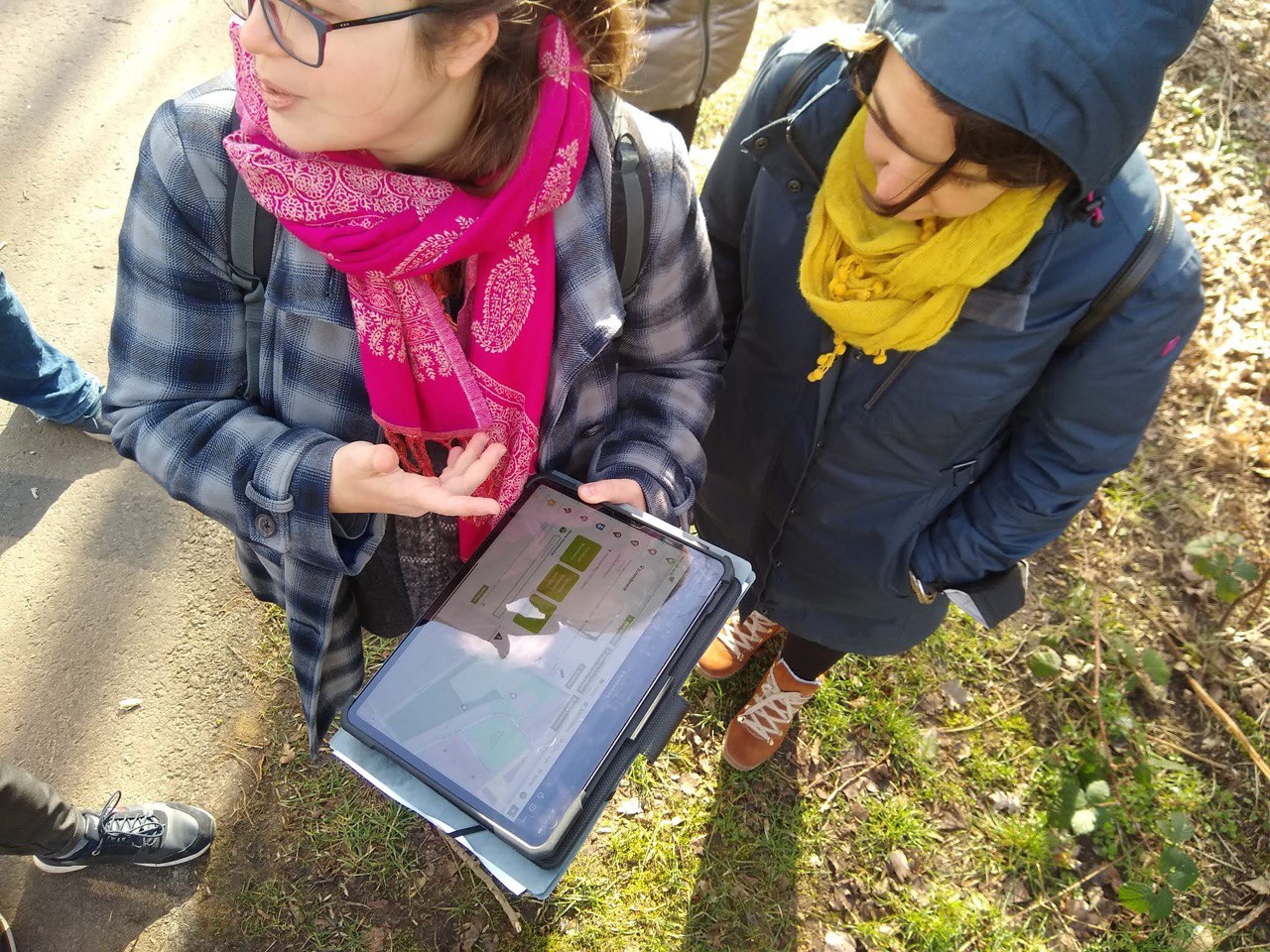
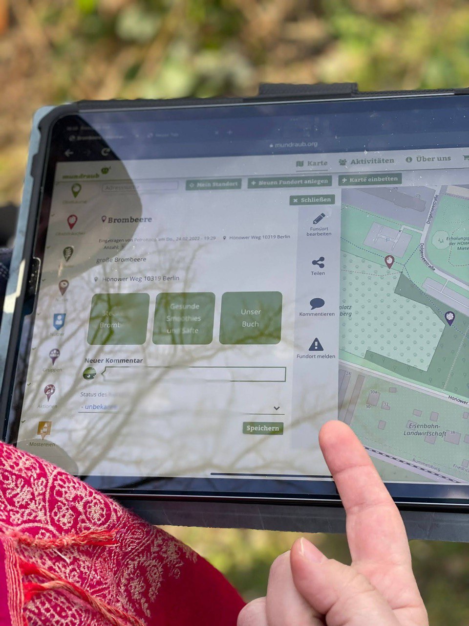
Active citizenship in this context refers to the power of individuals or small resident groups to proactively engage in community mapping exercises for improving their city or neighborhood.

Read More »
Information Gathering & Visualization

ArcGIS Online

ArcGIS Online provides a cloud-based mapping and analysis solution. It is used to create interactive web maps, analyse data, share and collaborate.

Read More »
Dialogue & Interaction

Civic Alert

Civic Alert is a platform designed to facilitate communication between citizens and governments. Citizens can use their mobile application to report problems in the city to the authorities in three easy steps.

Read More »