Crowdsorsa
INFORMATION GATHERING & VISUALIZATION
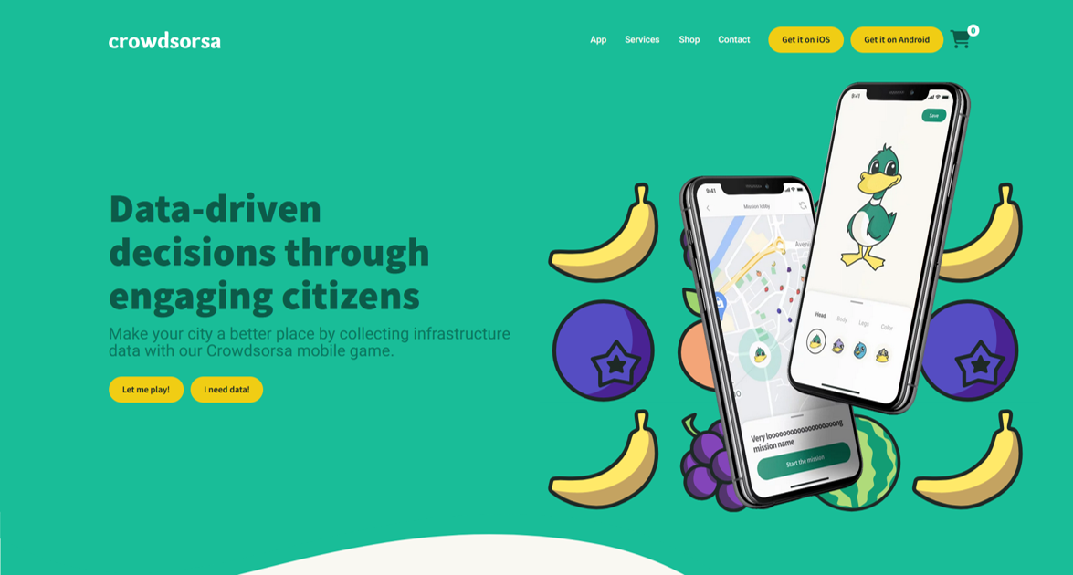
Crowdsorsa is a photo app to crowdsource data collection, that cities can use to nudge citizens to map their surroundings by taking geo-tagged photos.
Short summary of the practice
Crowdsorsa is a crowdsourcing app that cities can use to encourage citizens to map their surroundings by taking geo-tagged photos. It gamifies community mapping, as the core of Crowdsorsa is that residents are rewarded for completing mapping tasks.
Goal of the practice
Cities utilise Crowdsorsa to create mapping mission games that encourage citizens to document their environment using geo-tagged photos. In the game, players collect and position virtual objects on a map while capturing GPS-tagged images or videos with their smartphones. Cities primarily use the app for infrastructure management. Common Crowdsorsa missions include motivating residents to record the state of bike lanes, streets and roads, as well as the presence and condition of public amenities such as benches and litter bins.
Target group
All citizens
Number of participants: Unlimited, crowdsourca is a crowdsourcing tool, so the more participants the better.
Age of participants: Adults and Youth, 16+
Materials
Participants are required to have:
- Phone
- Internet access
- Payment method for rewards (bank account, online account)
Method Settings
The tool can be used anywhere in the city. However, the tool was developed in Finland and is mainly used in Finland.
Duration
From the participants’ perspective, the time it takes them to add their photos to the platform.

Preparation
For the mapping initiator, the duration of a project is several weeks from planning to implementation.
The participants only need to read the instructions of the mission to prepare themselves for the mapping activity.
Step by step guide
Step-by-step guide
Mapping for project initiators: Start by getting access to Crowdsorsa and familiarising yourself with its features. Then plan the details of the mapping mission and set up a reward system. Finally, promote the mapping mission to the general public.
Participants of the mapping project: Join the project by downloading the Crowdsorsa app from the app store. Immerse yourself in the mapping mission by exploring the designated area, collecting virtual tokens set by the mapping initiator, and capturing geo-tagged images or videos of relevant areas or objects of interest with your smartphone. Citizens can earn money by participating in the data collection mission.
Expected output
Crowdsorsa mapping projects provide geo-located data about the condition and presence of urban infrastructure such as sidewalks and bike lanes, as well as public amenities such as benches. Cities can use this data in their decision-making processes to implement improvements, including road repairs.
DOs, DONTs and ethical considerations of the method
It is important for mapping initiators to communicate that the mapping mission is linked to a real need for improving the city.
DOs of the method:
Do respect and participate correctly in the game.
DONTs of the method:
- Avoid giving false information
- Avoid sharing a photo other than the one requested
Change the method brings to the communities
The data gathered from the mapping missions lead to municipal improvement projects such as bike lane repairs.
Adaptation/Application of the method
The City of Tampere wanted to make an inventory of its manhole covers to be sure of their condition and location in the summer of 2022. Using Crowdsorsa, the city administration designed a participation game that rewarded people for each photo of a manhole cover in the city.
The game instructions included sample images of the types of manhole covers to be mapped. For each unphotographed manhole cover, the participant was rewarded 30 cents. Once a picture was taken, an icon appeared on the app’s map in real time, indicating that the target had been found.
The mapping mission resulted in the city receiving over 23,000 photos and found thousands more manhole covers that were originally in the city’s database. The most active participants sent over 300 photos and earned up to €100 for their efforts.
Credit, References, and Resources
The link to the app – https://crowdsorsa.com/
Related posts

Active Citizenship
Active citizenship in this context refers to the power of individuals or small resident groups to proactively engage in community mapping exercises for improving their city or neighborhood.

ArcGIS Online
ArcGIS Online provides a cloud-based mapping and analysis solution. It is used to create interactive web maps, analyse data, share and collaborate.

Civic Alert
Civic Alert is a platform designed to facilitate communication between citizens and governments. Citizens can use their mobile application to report problems in the city to the authorities in three easy steps.
