
About MAXICO
MAPS OF EXPERIENCES FOR THRIVING COMMUNITIES
MAXICO is a cross-sectoral partnership that unites citizens, educators and specialists in participation to develop a sustainable and innovative curricula for co-creation methods in education and training. It aims to collect European practices and to adapt them to the local community needs. The project aims to initiate a knowledge exchange between countries, test and experiment with the collected best practices, publish a co-creation methodology and open it up to the communities.
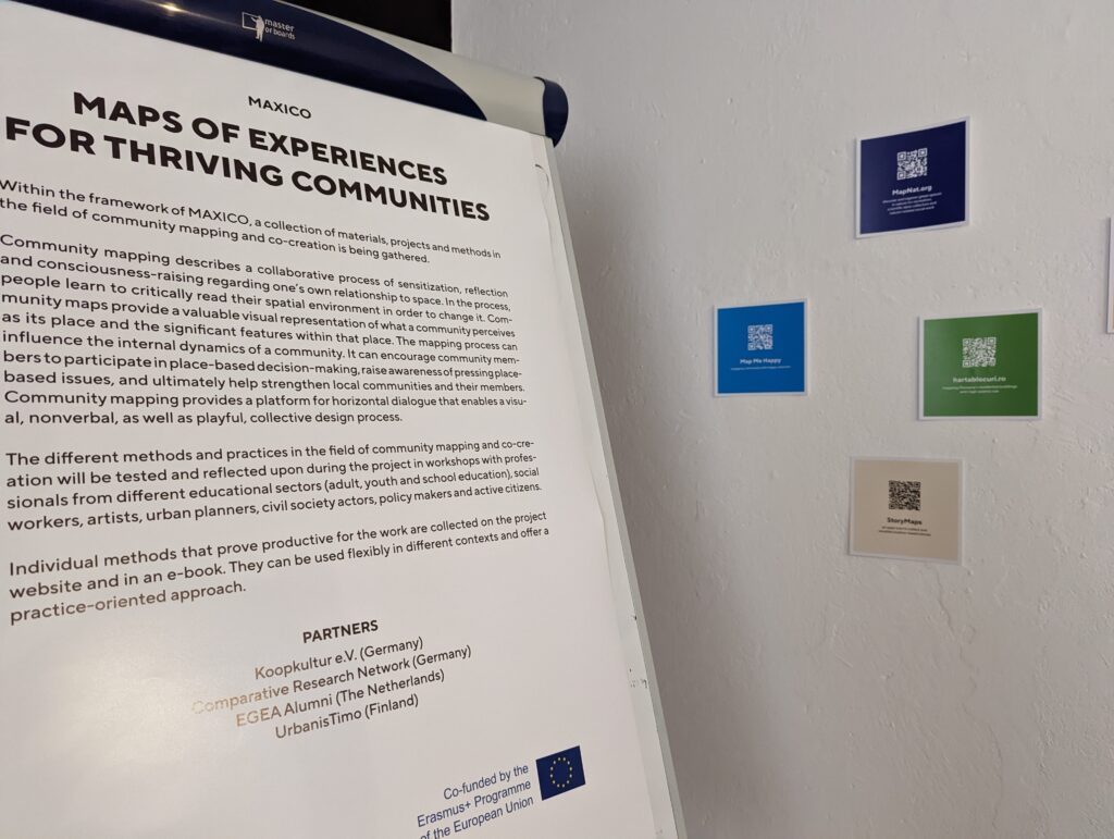
Within the framework of MAXICO, a collection of materials, projects and methods in the field of community mapping and co-creation is being gathered.
Community mapping describes a collaborative process of sensitization, reflection and consciousness-raising regarding one’s own relationship to space. In the process, people learn to critically read their spatial environment in order to change it. Community maps provide a valuable visual representation of what a community perceives as its place and the significant features within that place. The mapping process can influence the internal dynamics of a community. It can encourage community members to participate in place-based decision-making, raise awareness of pressing place-based issues, and ultimately help strengthen local communities and their members. Community mapping provides a platform for horizontal dialogue that enables a visual, nonverbal, as well as playful, collective design process.
The different methods and practices in the field of community mapping and co-creation were tested and reflected upon during the project in workshops with professionals from different educational sectors (adult, youth and school education), social workers, artists, urban planners, civil society actors, policy makers and active citizens.
Individual methods that prove productive for the work were collected on the project website and in this e-book. They can be used flexibly in different contexts and offer a practice-oriented approach.
Categories
The MAXICO project has provided a profound exploration into the multifaceted realm of community mapping tools and methods, revealing a snapshot of the ways that location-based resident-city interaction takes place in our cities today.
Community Mapping - The Road Ahead
During the project’s examination of the community mapping tools and methods, it became clear that the field is not devoid of challenges. Issues such as inclusivity, data management, and bureaucratic red tape often pose hurdles for those who decide to launch a community mapping activity. However, as urban areas continue to expand and diversify, it becomes imperative to ensure that every resident has not just a voice, but an active role in shaping their surroundings. Community mapping not only provides people’s voices with a platform but also ensures they are heard by decision-makers and neighbours, setting the stage for collaborative urban solutions.
Information Gathering & Visualization
Tools such as Hoodmaps and Mapillary primarily focus on accumulating and illustrating data. These tools allow residents to contribute localized information, laying a foundational base for shaping future actions and strategies. Although these platforms play a crucial role in depicting and comprehending community issues, their main function is not to co-create solutions to local problems but to provide a structured and visual representation of the gathered information, enabling a better understanding of community needs and conditions.
Dialogue & Interaction
Tools like Maptionnaire and Civic Alert serve as conduits for communication between residents and governing entities, allowing the voices of the grassroots to be heard and considered in governance and planning processes. These platforms aim to synthesize data-driven insights with the nuances of human interaction and feedback, ensuring a well-rounded view of community needs and concerns. They facilitate an ongoing conversation, enabling mutual understanding and collaboration between the community and authorities, thus fostering a more responsive and inclusive approach to addressing local needs.
Exploration & Knowledge Sharing
Platforms like Nostalgeo and Instawalks offer avenues for residents to delve into and share the rich tapestry of experiences, cultures, and histories inherent to their neighborhoods. They not only foster a sense of community engagement and shared identity but also act as preservers of the unique characteristics and stories of evolving neighborhoods. By promoting a culture of learning and mutual discovery, these platforms contribute to the enhancement of communal bonds and the collective appreciation of local heritage.
Collaborative Decision-Making
This category encompasses tools and methods like Ecomuseo Casilino and Hush City App. These methods transform community mapping processes by elevating residents from mere contributors of data to active participants in the decision-making processes. This transformation ensures the creation of spaces that are genuine reflections of the community’s desires and aspirations. In this approach, the mapping processes are predominantly led by the community, from the bottom up, with outcomes being shaped by the proactive and collaborative participation of residents, ensuring that developments are truly representative of and beneficial to the community.
Community Mapping - The Road Ahead
During the project’s examination of the community mapping tools and methods, it became clear that the field is not devoid of challenges. Issues such as inclusivity, data management, and bureaucratic red tape often pose hurdles for those who decide to launch a community mapping activity. However, as urban areas continue to expand and diversify, it becomes imperative to ensure that every resident has not just a voice, but an active role in shaping their surroundings. Community mapping not only provides people’s voices with a platform but also ensures they are heard by decision-makers and neighbours, setting the stage for collaborative urban solutions.